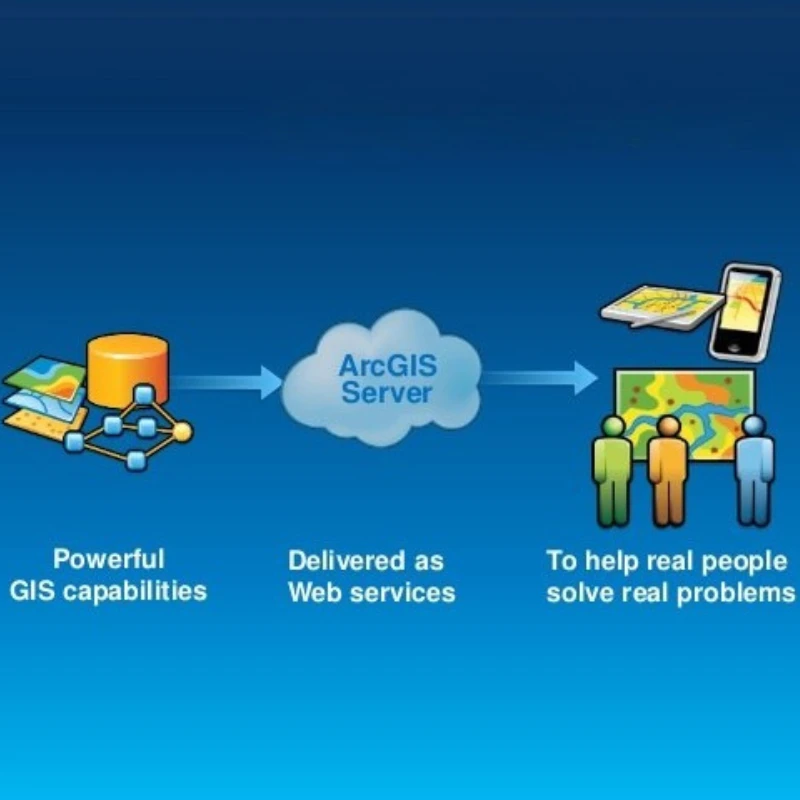
ArcGIS Services
Location Intelligence That Powers Smarter Decisions
Leverage GIS for Smarter Operations
Overview
We offer specialized ArcGIS development and consulting services that add spatial intelligence to your applications. From interactive mapping dashboards to custom geolocation solutions, our ArcGIS services are built to help governments, enterprises, and platforms visualize, understand, and act on real-world geographic data. Whether it’s public service delivery, logistics, or infrastructure planning—our solutions make location matter.
What We Are Good At
- Custom GIS Dashboards: Build interactive dashboards to display and monitor real-time spatial data.
- Enterprise GIS Integration: Integrate ArcGIS with ERP, CRM, and internal workflows for seamless spatial data usage.
- Location Intelligence: Turn geospatial data into actionable insights using predictive mapping and geo-analytics.
- Mobile & Web Maps: Deploy responsive mapping tools for on-the-go users in field services, delivery, and urban planning.

patial Applications That Drive Real Impact

Sector-Focused Solutions
Whether you're a utility provider, city planner, or logistics company, we build GIS tools tailored to your operational goals.

Secure & Scalable Deployments
From secure cloud hosting to high-availability infrastructure, we deliver ArcGIS solutions designed for growth and resilience.

Full-Cycle GIS Support
From initial consulting and data modeling to integration and post-launch maintenance, we provide end-to-end ArcGIS services.
